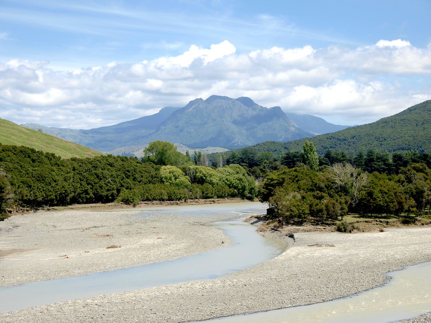
The coast beyond Tokomaru Bay needs more than a glance at the map. Ruatoria is the useful gateway for Maunga Hikurangi experiences; Tikitiki has important Ngāti Porou heritage; Te Araroa and Wharekahika / Hicks Bay sit farther north, where SH35 turns towards Bay of Plenty. East Cape Road is a separate side trip from Te Araroa, not the through-route to Ōpōtiki.
This is Ngāti Porou country, with living communities and places of deep cultural significance. A good visit leaves time for a publicly offered guided experience and local arrangements, rather than assuming every maunga, church or marae can be entered. It is one of the most distinctive parts of a Tairāwhiti road trip, provided you give it enough nights and keep access checks current.
Quick take
Allow at least an overnight stage north of Tokomaru, with more time if booking a maunga experience. Gisborne to Ruatoria is roughly 2–2½ hours in ordinary conditions before works; the northern settlements and side roads add much more. East Cape Lighthouse is closed to public access. A tour on Maunga Hikurangi, an independent expert mountain route and a coastal drive are three separate plans.
Ruatoria and Maunga Hikurangi

Ruatoria is the departure base identified by Maunga Hikurangi Tours. The operator offers Ngāti Porou-guided experiences, with four-wheel-drive travel and interpretation around the maunga and carvings. Book directly and use the confirmed meeting instructions. Do not assume a booking allows you to drive a private vehicle up the mountain, or that the vehicle-based experience is an independent summit climb.
The Maunga Hikurangi Tours’ planning information allows around 5½ hours for the sunrise experience and 4½ hours for its daytime option, including travel from Ruatoria. Some product pages use slightly shorter figures, so use the duration and departure confirmed for your actual booking. Weather, seasonal availability, age suitability and access arrangements need to be agreed with the operator.
A dawn tour is a reason to arrange a nearby night or an agreed early transfer. It is not a good reason to start a long unfamiliar drive from Gisborne in the middle of the night. The operator lists an October shutdown and a New Year cultural closure; exact availability is booking-dependent. The daytime option can be more manageable for families and travellers who do not want a pre-dawn start.
Independent walking is an expert undertaking
DOC’s Te Ara ki Hikurangi information describes a backcountry route with about four to five hours to the hut and another two to three to the summit, each one way. It starts about 25 km from Ruatoria across private farmland; public vehicles must stop at the designated car park. Hut bookings, farming and cultural closures, weather and navigation skills all matter. Camping is not permitted on the route described by DOC.
We have not made that climb a standard family recommendation or a casual day-trip add-on. Choose the authorised guided experience for a visitor introduction, or make a separate properly equipped mountain plan with the relevant current permissions and experience. Te Rūnanganui o Ngāti Porou is a useful starting point for learning why Hikurangi and Waiapu have such importance to the people of this coast.
Tikitiki and St Mary’s Church
St Mary’s was dedicated in 1926 as a memorial to Māori soldiers from the East Coast who died in the First World War. Sir Āpirana Ngata’s involvement connects it with efforts to sustain and revive Māori arts. It deserves that context, rather than a description that treats the carving as decoration for visitors.
Heritage New Zealand’s St Mary’s listing lists the property as private with no public access. Tourism listings describe the church as an attraction, but do not establish a current right to enter. Do not promise yourself an interior visit. Arrange permission with the appropriate local custodians if an invitation or publicly offered visit is available, otherwise keep any look to lawful public areas and respect worship, tangihanga and the surrounding community.
Te Araroa and Te Waha o Rerekohu

Te Araroa is a small coastal settlement, separate from the long-distance walking trail of the same name. It is useful for a break and a shore-based look before continuing towards Hicks Bay. Te Waha o Rerekohu, the large pōhutukawa associated with the town, is a culturally significant tree rather than a climbing attraction. Follow current public access signs, keep clear of school or private boundaries and do not climb on roots or branches for a photograph.
The wider landscape is worth time even without a dramatic endpoint. Choose a safe public stopping place, get out for a short shore look where conditions allow, and leave enough daylight for the next section. Avoid entering side roads or beach accesses simply because an old online photograph was taken there.
East Cape Road and the lighthouse closure
Maritime NZ’s East Cape Lighthouse access notice states that the lighthouse is inaccessible to the public because severe-weather track damage has made access unsafe. Do not walk past barriers, use an old staircase description or cross private land to reach it. The lighthouse walk is deliberately absent from our suggested plans.
East Cape Road is a different question. Regional visitor information describes it as a scenic drive, but local road damage and restrictions must be checked with Gisborne District Council road information before setting out. Ask about the actual section you intend to use, turning places and suitability for your vehicle. A road being open to some traffic does not establish that the lighthouse track is open. If the access information is uncertain, stay with a Te Araroa shore stop and the SH35 journey.
For sunrise, choose an accessible public coastal viewpoint or a booked guided experience that is confirmed for your date. There is no need to make an unsupported “world’s first” claim or a risky closed-site visit to enjoy an early East Coast morning.
Wharekahika / Hicks Bay and the westward connection
Wharekahika / Hicks Bay is a useful northern base before SH35 continues west around the coast. The bay, settlement and surrounding roads are lived-in places, with fewer services than Gisborne. Confirm the night’s accommodation and meals before leaving a larger centre rather than relying on a late walk-in.
The road towards Ōpōtiki crosses into Bay of Plenty. Te Kaha, Waihau Bay and the western part of this coast belong with our eastern Bay of Plenty guide. Allow roughly 3–4 hours from Hicks Bay to Ōpōtiki before breaks and works, and treat it as a travel day with stops. It is not a short extra loop to add after a full maunga tour.
Where to stay, eat and refuel
Hicks Bay Motor Lodge has several room types, including Hicks Bay’s self-catering units with a small cooking area, hotplate and microwave. Simpler rooms and bunks do not provide the same facilities. Confirm bedding, private or shared bathrooms, arrival time and current dining before booking, particularly for a family.
Farther south, Te Puka Tavern accommodation in Tokomaru Bay can be a useful confirmed base before a daytime Ruatoria booking. Allow the drive and check-in; it is not next door to the operator. If you need a very early start, ask the tour operator to help you choose a closer current option rather than relying on an unverified accommodation name.
Te Araroa Holiday Park continues to appear in visitor listings, but reopening after flood damage was not confirmed during preparation. Do not build an overnight or a meal at 35 Eat Street around it until the business confirms it can host you. Hicks Bay or another explicitly confirmed booking is the safer planning choice; this is an availability gap, not a claim of permanent closure.
Food and fuel require more attention than in town. Fill up before the long stage, carry water and snacks, and confirm the next stop’s hours and payment arrangements locally. A café or fuel symbol on a map is not a guarantee of late service. Download directions and booking details while you have coverage. Do not promise the group a particular dinner without speaking to the property or business.
A manageable two-day northern stage
Day 1 — Tokomaru to the northern coast. Overnight: Wharekahika / Hicks Bay. Travel through Ruatoria and Tikitiki with time for legal, appropriate stops, then Te Araroa. Allow around 2–3 hours’ driving across the day before breaks and controls. Leave East Cape Road optional and the closed lighthouse walk out entirely.
Day 2 — Hicks Bay to Ōpōtiki. Finish: Ōpōtiki. Start with the current road information and a realistic fuel plan. Allow about 3–4 hours before coastal stops and works. Book the next night rather than assuming the coast day leaves enough energy for a long onward drive.
Adding Maunga Hikurangi
Extra day — a confirmed guided experience. Put the tour on a separate day based around Ruatoria, with accommodation or transfer timing agreed in advance. Keep a weather alternative and avoid a tightly booked flight or long coast transfer afterwards. The regional seven-day itinerary shows how to create the extra space.
Before you leave
Refresh NZTA Journey Planner, SH35 recovery information, the local road page and the actual provider booking. Heavy rain, recovery controls and limited services can change the plan. Respect private land and cultural closures, and give other road users room on narrow stretches. Continue with Uawa and Tokomaru Bay, Gisborne city, beach choices or an inland day rather than treating every guide as one continuous day trip.